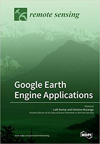
In a rapidly changing world, there is an ever-increasing need to monitor the Earth's resources and manage it sustainably for future generations. Earth observation from satellites is critical to provide information required for informed and timely decision making in this regard. Satellite-based earth observation has advanced rapidly over the last 50 years, and there is a plethora of satellite sensors imaging the Earth at finer spatial and spectral resolutions as well as high temporal resolutions. The amount of data available for any single location on the Earth is now at the petabyte-scale. An ever-increasing capacity and computing power is needed to handle such large datasets. The Google Earth Engine (GEE) is a cloud-based computing platform that was established by Google to support such data processing. This facility allows for the storage, processing and analysis of spatial data using centralized high-power computing resources, allowing scientists, researchers, hobbyists and anyone else interested in such fields to mine this data and understand the changes occurring on the Earth's surface. This book presents research that applies the Google Earth Engine in mining, storing, retrieving and processing spatial data for a variety of applications that include vegetation monitoring, cropland mapping, ecosystem assessment, and gross primary productivity, among others. Datasets used range from coarse spatial resolution data, such as MODIS, to medium resolution datasets (Worldview -2), and the studies cover the entire globe at varying spatial and temporal scales.
چکیده فارسی
در دنیایی که به سرعت در حال تغییر است، نیاز روزافزونی برای نظارت بر منابع زمین و مدیریت پایدار آن برای نسلهای آینده وجود دارد. رصد زمین از طریق ماهواره ها برای ارائه اطلاعات مورد نیاز برای تصمیم گیری آگاهانه و به موقع در این زمینه بسیار مهم است. رصد زمین مبتنی بر ماهواره طی 50 سال گذشته به سرعت پیشرفت کرده است، و تعداد زیادی از سنسورهای ماهواره ای از زمین با وضوح های فضایی و طیفی بهتر و همچنین وضوح زمانی بالا تصویربرداری می کنند. مقدار داده های موجود برای هر مکان منفرد روی زمین اکنون در مقیاس پتابایت است. ظرفیت و قدرت محاسباتی روزافزونی برای مدیریت چنین مجموعه داده های بزرگی مورد نیاز است. موتور Google Earth (GEE) یک پلتفرم محاسباتی مبتنی بر ابر است که توسط Google برای پشتیبانی از چنین پردازش دادهها ایجاد شده است. این تسهیلات امکان ذخیره، پردازش و تجزیه و تحلیل دادههای مکانی را با استفاده از منابع محاسباتی متمرکز با توان بالا فراهم میکند و به دانشمندان، محققان، علاقهمندان و هر کسی که علاقهمند به چنین زمینههایی است، این امکان را میدهد تا این دادهها را استخراج کنند و تغییرات رخداده در سطح زمین را درک کنند. این کتاب تحقیقاتی را ارائه میکند که موتور Google Earth را در استخراج، ذخیرهسازی، بازیابی و پردازش دادههای مکانی برای کاربردهای مختلفی از جمله نظارت بر پوشش گیاهی، نقشهبرداری از زمینهای زراعی، ارزیابی اکوسیستم، و بهرهوری ناخالص اولیه و غیره ارائه میکند. مجموعه دادههای مورد استفاده از دادههای تفکیک مکانی درشت، مانند MODIS، تا مجموعه دادههای با وضوح متوسط (Worldview -2) را شامل میشود و مطالعات کل کره زمین را در مقیاسهای مکانی و زمانی متفاوت پوشش میدهند.
ادامه ...
بستن ...
Ebook details:
عنوان: Google Earth Engine Applications
نویسنده: Lalit Kumar, Onisimo Mutanga
ناشر: Mdpi AG (April 23, 2019)
زبان: English
شابک: 3038978841, 978-3038978848
حجم: 202 Mb
فرمت: True Pdf
ادامه ...
بستن ...
