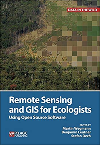
This is a book about how ecologists can integrate remote sensing and GIS in their daily work. It will allow ecologists to get started with the application of remote sensing and to understand its potential and limitations. Using practical examples, the book covers all necessary steps from planning field campaigns to deriving ecologically relevant information through remote sensing and modelling of species distributions.
All practical examples in this book rely on OpenSource software and freely available data sets. Quantum GIS (QGIS) is introduced for basic GIS data handling, and in-depth spatial analytics and statistics are conducted with the software package R.
Readers will learn how to apply remote sensing within ecological research projects, how to approach spatial data sampling and how to interpret remote sensing derived products. The authors discuss a wide range of statistical analyses with regard to satellite data as well as specialised topics such as time-series analysis. Extended scripts on how to create professional looking maps and graphics are also provided.
This book is a valuable resource for students and scientists in the fields of conservation and ecology interested in learning how to get started in applying remote sensing in ecological research and conservation planning.
more details on
book.ecosens.org/
چکیده فارسی
این کتابی است در مورد اینکه چگونه بوم شناسان می توانند سنجش از دور و GIS را در کار روزانه خود ادغام کنند. این به اکولوژیست ها اجازه می دهد تا با استفاده از سنجش از دور شروع کنند و پتانسیل و محدودیت های آن را درک کنند. این کتاب با استفاده از مثالهای عملی، تمام مراحل لازم از برنامهریزی کمپینهای میدانی گرفته تا استخراج اطلاعات مرتبط با محیط زیست از طریق سنجش از دور و مدلسازی پراکندگی گونهها را پوشش میدهد.
تمام مثالهای عملی این کتاب به نرمافزار OpenSource و مجموعه دادههای آزادانه در دسترس تکیه میکنند. Quantum GIS (QGIS) برای مدیریت داده های GIS پایه معرفی شده است و تجزیه و تحلیل های مکانی عمیق و آمار با بسته نرم افزاری R انجام می شود.
خوانندگان یاد خواهند گرفت که چگونه سنجش از دور را در پروژه های تحقیقاتی زیست محیطی به کار ببرند، چگونه به نمونه برداری از داده های مکانی نزدیک شوند و چگونه محصولات مشتق شده از سنجش از دور را تفسیر کنند. نویسندگان طیف گستردهای از تحلیلهای آماری را با توجه به دادههای ماهوارهای و همچنین موضوعات تخصصی مانند تحلیل سریهای زمانی مورد بحث قرار میدهند. اسکریپت های توسعه یافته در مورد نحوه ایجاد نقشه ها و گرافیک های حرفه ای نیز ارائه شده است.
این کتاب منبع ارزشمندی برای دانشآموزان و دانشمندان رشتههای حفاظت از محیط زیست و بومشناسی است که علاقهمند به یادگیری نحوه استفاده از سنجش از دور در تحقیقات اکولوژیکی و برنامهریزی حفاظت هستند.
جزئیات بیشتر در
book.ecosens.org/
ادامه ...
بستن ...
Ebook details:
عنوان: Remote Sensing and GIS for Ecologists Using Open Source Software (Data in the Wild) (9781784270223)
نویسنده: Martin Wegmann, Benjamin Leutner, Stefan Dech
ناشر: Pelagic Publishing (March 21, 2016)
زبان: English
شابک: 9781784270223, 978-1784270223
حجم: 282 Mb
فرمت: Epub + Converted pdf
ادامه ...
بستن ...
