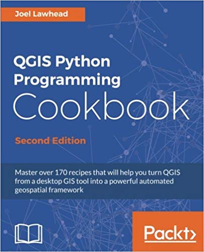
Master over 170 recipes that will help you turn QGIS from a desktop GIS tool into a powerful automated geospatial framework
About This Book
- Delve into the undocumented features of the QGIS API
- Get a set of user-friendly recipes that can automate entire geospatial workflows by connecting Python GIS building blocks into comprehensive processes
- This book has a complete code upgrade to QGIS 2.18 and 30 new, valuable recipes
Who This Book Is For
This book is for geospatial analysts who want to learn more about automating everyday GIS tasks as well as programmers responsible for building GIS applications. The short, reusable recipes make concepts easy to understand and combine so you can build larger applications that are easy to maintain.
What You Will Learn
- Use Python and QGIS to produce captivating GIS visualizations and build complex map layouts
- Find out how to effectively use the poorly-documented and undocumented features of the QGIS Python API
- Automate entire geospatial workflows by connecting Python GIS building blocks into comprehensive processes
- Create, import, and edit geospatial data on disk or in-memory
- Change QGIS settings programmatically to control default behavior
- Automatically generate PDF map books
- Build dynamic forms for field input
In Detail
QGIS is a desktop geographic information system that facilitates data viewing, editing, and analysis. Paired with the most efficient scripting language―Python, we can write effective scripts that extend the core functionality of QGIS.
Based on version QGIS
چکیده فارسی
در بیش از 170 دستور العمل تسلط داشته باشید که به شما کمک می کند QGIS را از یک ابزار GIS دسکتاپ به یک چارچوب قدرتمند مکانیکی خودکار تبدیل کنید
درباره این کتاب
- ویژگیهای غیرمستند QGIS API را بررسی کنید
- مجموعهای از دستور العملهای کاربرپسند را دریافت کنید که میتواند کل گردشهای کاری مکانی را با اتصال بلوکهای ساختمان Python GIS به فرآیندهای جامع خودکار کند
- این کتاب دارای یک ارتقاء کد کامل به QGIS 2.18 و 30 دستور غذای جدید و ارزشمند است
این کتاب برای چه کسی است
این کتاب برای تحلیلگران زمین فضایی است که می خواهند درباره خودکارسازی وظایف روزمره GIS و همچنین برنامه نویسانی که مسئول ساخت برنامه های GIS هستند اطلاعات بیشتری کسب کنند. دستور العمل های کوتاه و قابل استفاده مجدد، مفاهیم را به راحتی قابل درک و ترکیب می کند تا بتوانید برنامه های بزرگتری بسازید که نگهداری آنها آسان است.
آنچه خواهید آموخت
- از Python و QGIS برای تولید تجسمهای GIS جذاب و ساخت طرحبندیهای نقشه پیچیده استفاده کنید
- چگونگی استفاده موثر از ویژگی های ضعیف و غیرمستند QGIS Python API را بیابید
- با اتصال بلوکهای ساختمان Python GIS به فرآیندهای جامع، کل گردشهای کاری مکانی را خودکار کنید
- ایجاد، وارد کردن، و ویرایش داده های مکانی روی دیسک یا حافظه داخلی
- تنظیمات QGIS را به صورت برنامه ریزی شده برای کنترل رفتار پیش فرض تغییر دهید
- کتابهای نقشه PDF را به صورت خودکار تولید کنید
- فرم های پویا برای ورودی فیلد بسازید
در جزئیات
QGIS یک سیستم اطلاعات جغرافیایی رومیزی است که مشاهده، ویرایش و تجزیه و تحلیل داده ها را تسهیل می کند. همراه با کارآمدترین زبان برنامه نویسی - Python، می توانیم اسکریپت های موثری بنویسیم که عملکرد اصلی QGIS را گسترش دهد.
بر اساس نسخه QGIS
ادامه ...
بستن ...
Ebook details:
عنوان: QGIS Python Programming Cookbook - Second Edition
نویسنده: Joel Lawhead
ناشر: Packt Publishing - ebooks Account; 2nd Revised edition edition (March 14, 2017)
زبان: English
شابک: 1787124835, 978-1787124837
حجم: 16 Mb
فرمت: True Pdf
ادامه ...
بستن ...
