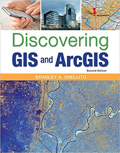
Bradley Shellitos new textbook uses hands-on experience to introduce both the how and why of geographic information systems. Students learn to combine an understanding of basic GIS concepts with practical ArcGIS skills, following step-by-step instructions to accomplish a wide range of real-world tasks and applications while always keeping sight on the conceptual basis and practical impact of what they are doing.
Discovering GIS and ArcGIS is appropriate for introductory GIS courses, or advanced or applied GIS courses. Instructors will find the coverage they need for a single intro-level course, a single advanced or applied course, or a two-course sequence.
چکیده فارسی
کتاب درسی جدید برادلی شلیتو از تجربه عملی برای معرفی "چگونه" و "چرا" سیستم های اطلاعات جغرافیایی استفاده می کند. دانشآموزان یاد میگیرند که درک مفاهیم پایه GIS را با مهارتهای عملی ArcGIS ترکیب کنند، دستورالعملهای گام به گام را برای انجام طیف گستردهای از وظایف و برنامههای واقعی در دنیای واقعی دنبال کنند، در حالی که همیشه به مبانی مفهومی و تأثیر عملی کاری که انجام میدهند توجه دارند. .
کشف GIS و ArcGIS برای دوره های مقدماتی GIS یا دوره های پیشرفته یا کاربردی GIS مناسب است. مدرسان پوشش مورد نیاز خود را برای یک دوره مقدماتی، یک دوره پیشرفته یا کاربردی، یا یک دوره دو دوره ای پیدا خواهند کرد.
ادامه ...
بستن ...
Ebook details:
عنوان: Discovering GIS and ArcGIS
نویسنده: Bradley A. Shellito
ناشر: W. H. Freeman; Second edition (December 7, 2016)
زبان: English
شابک: 1319060471, 978-1319060473
حجم: 74 Mb
فرمت: Epub
ادامه ...
بستن ...


