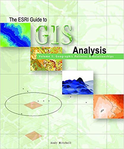
The ESRI Guide to GIS Analysis, Volume 1 demonstrates how geographic analysis with GIS can identify patterns, relationships, and trends that lead to better decision making. Using examples from various industries, this book focuses on six of the most common geographic analysis tasks: mapping where things are, mapping the most and least, mapping density, finding what is inside, finding what is nearby, and mapping what has changed. Written for both new and experienced GIS users, this book builds a foundation of the basic tasks needed to handle a wide range of analysis applications.
چکیده فارسی
راهنمای ESRI برای تجزیه و تحلیل GIS، جلد 1 نشان میدهد که چگونه تحلیل جغرافیایی با GIS میتواند الگوها، روابط و روندهایی را که منجر به تصمیمگیری بهتر میشوند شناسایی کند. این کتاب با استفاده از نمونههایی از صنایع مختلف، بر شش مورد از رایجترین کارهای تحلیل جغرافیایی تمرکز میکند: نقشهبرداری از جایی که اشیا هستند، نقشهبرداری از بیشترین و کمترین، تراکم نقشهبرداری، یافتن آنچه در داخل است، یافتن آنچه در نزدیکی است، و نقشهبرداری از آنچه تغییر کرده است. این کتاب که برای کاربران جدید و با تجربه GIS نوشته شده است، پایه ای از وظایف اساسی مورد نیاز برای رسیدگی به طیف گسترده ای از برنامه های تحلیلی را می سازد.
ادامه ...
بستن ...
Ebook details:
عنوان: The ESRI Guide to GIS Analysis Volume 1: Geographic Patterns & Relationships
نویسنده: Andy Mitchell
ناشر: Esri Press; 1 edition (August 1, 1999)
زبان: English
شابک: 1879102064, 978-1879102064
حجم: 24 Mb
فرمت: Scanned Pdf
ادامه ...
بستن ...


