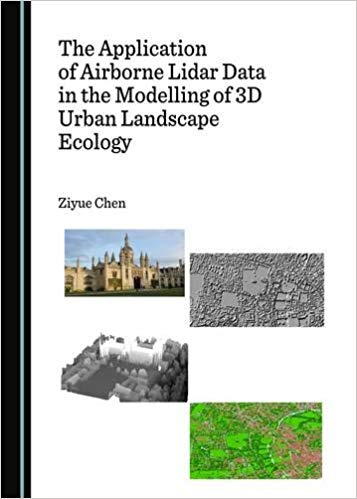
Compared with traditional remote sensing technologies, airborne Lidar data can provide researchers with additional 3D positional information, which is a key factor for advanced urban research, and particularly that of urban landscape ecology. Therefore, the need for applying Lidar data to a variety of disciplines is rapidly growing. However, the lack of remote sensing background makes the wider use of Lidar data highly difficult for scholars from other disciplines. In contrast to the majority of Lidar-related books that focus on sophisticated principles and general applications of Lidar data, this book provides the reader with a feasible framework for applying airborne Lidar data to urban research. In addition to providing a general introduction to the subject, this book explains in detail a series of case studies to demonstrate how these theoretical models can be employed to address practical urban issues. As such, this book not only provides Lidar scholars with a series of specifically designed research methods, but will also serve to inspire scholars from other disciplines, such as geographers, urban planners, ecologists, and decision-makers, with a complete framework of potential application fields.
چکیده فارسی
در مقایسه با فنآوریهای سنجش از دور سنتی، دادههای Lidar موجود در هوا میتوانند اطلاعات موقعیتی سه بعدی اضافی را در اختیار محققان قرار دهند، که یک عامل کلیدی برای تحقیقات پیشرفته شهری، و بهویژه بومشناسی منظر شهری است. بنابراین، نیاز به استفاده از داده های Lidar در رشته های مختلف به سرعت در حال افزایش است. با این حال، فقدان پیشزمینه سنجش از دور، استفاده گستردهتر از دادههای لیدار را برای محققان دیگر رشتهها بسیار دشوار میکند. برخلاف اکثر کتابهای مرتبط با لیدار که بر اصول پیچیده و کاربردهای کلی دادههای لیدار تمرکز دارند، این کتاب چارچوبی امکانپذیر برای استفاده از دادههای لایدار در هوا در تحقیقات شهری در اختیار خواننده قرار میدهد. این کتاب علاوه بر ارائه مقدمه ای کلی برای موضوع، مجموعه ای از مطالعات موردی را به تفصیل توضیح می دهد تا نشان دهد چگونه می توان از این مدل های نظری برای پرداختن به مسائل کاربردی شهری استفاده کرد. به این ترتیب، این کتاب نه تنها مجموعهای از روشهای تحقیقاتی طراحیشده خاص را در اختیار محققان لیدار قرار میدهد، بلکه برای الهام بخشیدن به دانشمندان رشتههای دیگر، مانند جغرافیدانان، برنامهریزان شهری، بومشناسان، و تصمیمگیران، با چارچوب کاملی از پتانسیل استفاده خواهد کرد. فیلدهای برنامه.
ادامه ...
بستن ...
Ebook details:
عنوان: The Application of Airborne Lidar Data in the Modelling of 3D Urban Landscape Ecology (9781443899864) Ziyue Chen
نویسنده: Books
ناشر: Cambridge Scholars Publishing; 1 edition (January 1, 2017)
زبان: English
شابک: 1443899860, 978-1443899864
حجم: 4 Mb
فرمت: True Pdf
ادامه ...
بستن ...
